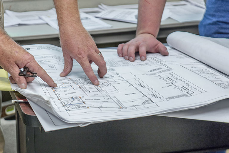
Survey projects and collect data to perform routine topographical, boundary projects to make maps of the Earth's surface.
What is Surveying and Mapping Technology?
Surveying and Mapping Technology emphasizes solving problems encountered in the field of Surveying & Mapping Technology. Students perform routine topographical, boundary and other mapping / surveying projects, as well as Global Positioning (GPS) surveys. Students establish essential data, keep notes, develop preliminary sketches, and prepare working drawings, profile and section maps, volume calculations, and topographic maps.
HCTC offers two certificates in this program: Surveying Technician I and Surveying Technician II. The certificates are offered as part of the Computer Aided Drafting and Design Program.

Program Shadowing or Class Tours
Getting Started
What are my degree, diploma, and certificate options?
How Do I Pay For This?
What Else Do I Need to Know?
Additional Information
Surveying Technician I
- Accurately demonstrate the proper care and use of surveying instruments.
- Practice standards of practice as regulated by the state board.
- Provide accurate drawings of field surveys.
- Recognize proper safety conditions and use appropriate safety equipment.
- Collaborate with members of the survey program on projects and procedures.
Surveying Technician II
- Accurately demonstrate the proper care and use of surveying instruments.
- Determine the location of points on the ground.
- Evaluate data gathered in the field.
- Practice standards of practice as regulated by the state board.
- Provide accurate drawings of field surveys.
- Recognize proper safety conditions and use appropriate safety equipment.
- Collaborate with members of the survey program on projects and procedures.
| Course | Course Title | Credit Hours |
|---|---|---|
| Computer Literacy -CAD 100 Preferred | 3 | |
| SMT 110 | Principles of Surveying OR | 3 |
| SMT 130 | Land Surveying Graphics | (3) |
| Total Credit Hours | 6 |
| Course | Course Title | Credit Hours |
|---|---|---|
| Computer Literacy-CAD 100 Preferred | 3 | |
| SMT 110 | Principles of Surveying | 3 |
| SMT 130 | Land Surveying Graphics | 3 |
| Tech. Electives Approved by Program Coordinator | 3 | |
| Total Credit Hours | 12 |

